The history of globes
We all know that a globe is a proportional model of the Earth used for educational or decorative purposes. It typically displays the political division of countries, the Earth’s reliefs, rivers, and seas. Globes are fascinating tools that bridge education, art, and history. While most of us recognize them as scaled-down models of the Earth used for teaching or decoration, their origins and evolution reveal a rich tapestry of human ingenuity and curiosity.
What is a globe?
The Earth’s circumference is almost exactly 40 million meters. For this reason, many globes are made with a circumference of one meter, representing the Earth at a scale of 1:40 million.
When was the first attributable globe created?
The concept of a spherical Earth dates back to ancient civilizations. Hellenistic astronomers in the 3rd century BCE, such as Eratosthenes and Hipparchus, not only confirmed the Earth’s round shape but also made early attempts to create globes. While no physical globes from Antiquity or the Middle Ages have survived, texts from the era reference these creations as tools for studying geography and astronomy.
Hellenistic astronomers confirmed the Earth’s spherical nature in the 3rd century BCE, and they began constructing the first globes at that time. Unfortunately, none of these ancient or medieval globes have survived to the present day.
These early globes, constructed from simple materials, were likely used for teaching the spherical nature of the Earth and illustrating celestial phenomena. Their ephemeral nature and the limited resources of the time contributed to their disappearance over the centuries.
The oldest existing terrestrial globe, built in the 1490s, is attributed to Martin Behaim (1459–1537), a German merchant, astronomer, and geographer. Behaim collaborated with painter Georg Glockendon to create what became known as the Erdapfel or “Nuremberg Terrestrial Globe.”
Before creating his globe, Behaim had traveled extensively. He lived in Lisbon during the 1480s, a hub for explorers and navigators of the era. In 1485–1486, Behaim joined Portuguese explorer Diogo Cão on a voyage to the West African coast. Upon returning to Nuremberg in 1490, Behaim began constructing his terrestrial globe, which became a landmark achievement in cartographic history.The oldest known terrestrial globe is the Erdapfel (“Earth Apple”), created in the 1490s by Martin Behaim, a German merchant, geographer, and astronomer. Behaim’s work was groundbreaking not only for its craftsmanship but also for the insights it provided into the geographic knowledge of the late 15th century. Constructed in Nuremberg with the help of painter Georg Glockendon, the Erdapfel measures about 51 centimeters in diameter and was made using a papier-mâché core covered with parchment. The globe depicts a pre-Columbian view of the world, reflecting the limitations of European knowledge before Columbus’s voyages. For instance, it includes mythical islands and a significant underestimation of the size of the Atlantic Ocean.
Martin Behaim’s journey and influence
Martin Behaim’s travels greatly influenced his work on the Erdapfel. Living in Lisbon during the 1480s, he was immersed in an era of discovery. Portugal, under the leadership of figures like Prince Henry the Navigator, was at the forefront of exploration. Behaim interacted with explorers, cartographers, and scientists, gaining insights into the world’s geography. In 1485–1486, Behaim joined Portuguese explorer Diogo Cão on a voyage to the West African coast. These experiences enriched his understanding of trade routes, navigation, and the geographical perceptions of the time. Upon returning to Nuremberg in 1490, he synthesized his knowledge into the creation of the Erdapfel, which remains a remarkable testament to Renaissance-era cartography.
The evolution of globes in modern times
As exploration expanded in the Age of Discovery, globes became increasingly sophisticated. By the 16th and 17th centuries, cartographers like Gerardus Mercator and Willem Blaeu produced globes that integrated new geographic data from explorers. These globes not only mapped terrestrial surfaces but also represented celestial phenomena, serving as essential tools for both navigation and education. Advancements in materials and printing techniques in the 18th and 19th centuries allowed globes to become more accessible. The use of lithography enabled mass production, while metal and wood bases improved durability. By the 20th century, globes had become ubiquitous in schools and homes, embodying both educational and aesthetic value.
Today, globes serve purposes far beyond traditional geography. Digital and interactive globes, such as Google Earth and touchscreen models, offer real-time data and immersive experiences. Meanwhile, antique globes remain prized collectibles, cherished for their historical and artistic value. In specialized fields, globes have expanded to represent celestial bodies like the Moon and Mars. These globes help scientists, educators, and enthusiasts explore our universe, underscoring the enduring significance of globes as tools for discovery.
The history of globes is a reflection of humanity’s quest to understand the world and our place within it. From the ancient Greeks’ theoretical constructs to Martin Behaim’s Erdapfel and modern digital tools, globes have continually evolved to meet the needs of each era. They remain timeless symbols of exploration, education, and artistry.
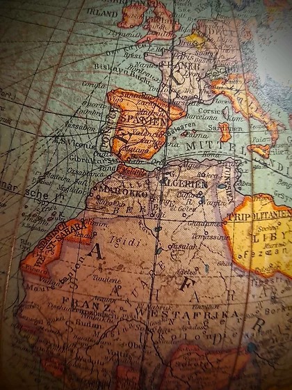
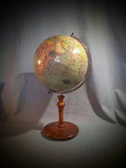
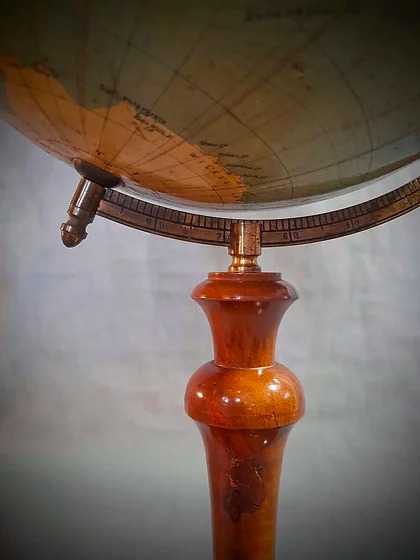
Looking for antique globes?
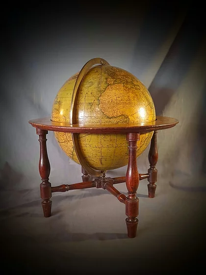
If you’re interested in original antique globes, maps, or illustrations, we recommend visiting Amaltea Antiques or/and Duino Antiques in their showroom at the Nuevas Galerías del Rastro. These shops are among Spain’s leading references in antique globes and cartographic collectibles.
More information at



0 Comments